P-8A Poseidon (click to view full) Maritime surveillance and patrol is becoming more and more important, but the USA's P-3 Orion turboprop fleet is falling apart. The P-7 Long Range Air ASW (Anti-Submarine Warfare) Capable Aircraft program to create an improved P-3...
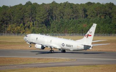
P-8 Poseidon MMA: Long-Range Maritime Patrol, and More
read more